The plan was to walk The Ridgeway, one of the oldest routes in the country, from Overton Hill in Wiltshire to Ivinghoe Beacon in Buckinghamshire a total distance of 87 miles in five and a half days.
The journey to the start at Overton Hill was to be made by car, the day started bright and clear, but heavy rain was forecasted. Leaving Bedfordshire at 9.00'ish we drove cross country to Ogbourne St George, our stop for the first night, to drop off our bags. The forecast was right and by this stage it was raining heavily, after a couple of tours of the village and a phone call or two we eventually found our B&B, the bags were duly dropped off and we were on our way again.
As is the want with British weather by the time arrived at Overton Hill, a lay-by on the A4 near West Kennet, the sky had cleared and the sun shone
Day-1 (Overton Hill to Ogbourne St George)
 |
| Starting The Ridgeway (only 87 miles to go) |
 |
| Getting acquainted with the local cows |
 |
| On top of Barbury Castle |
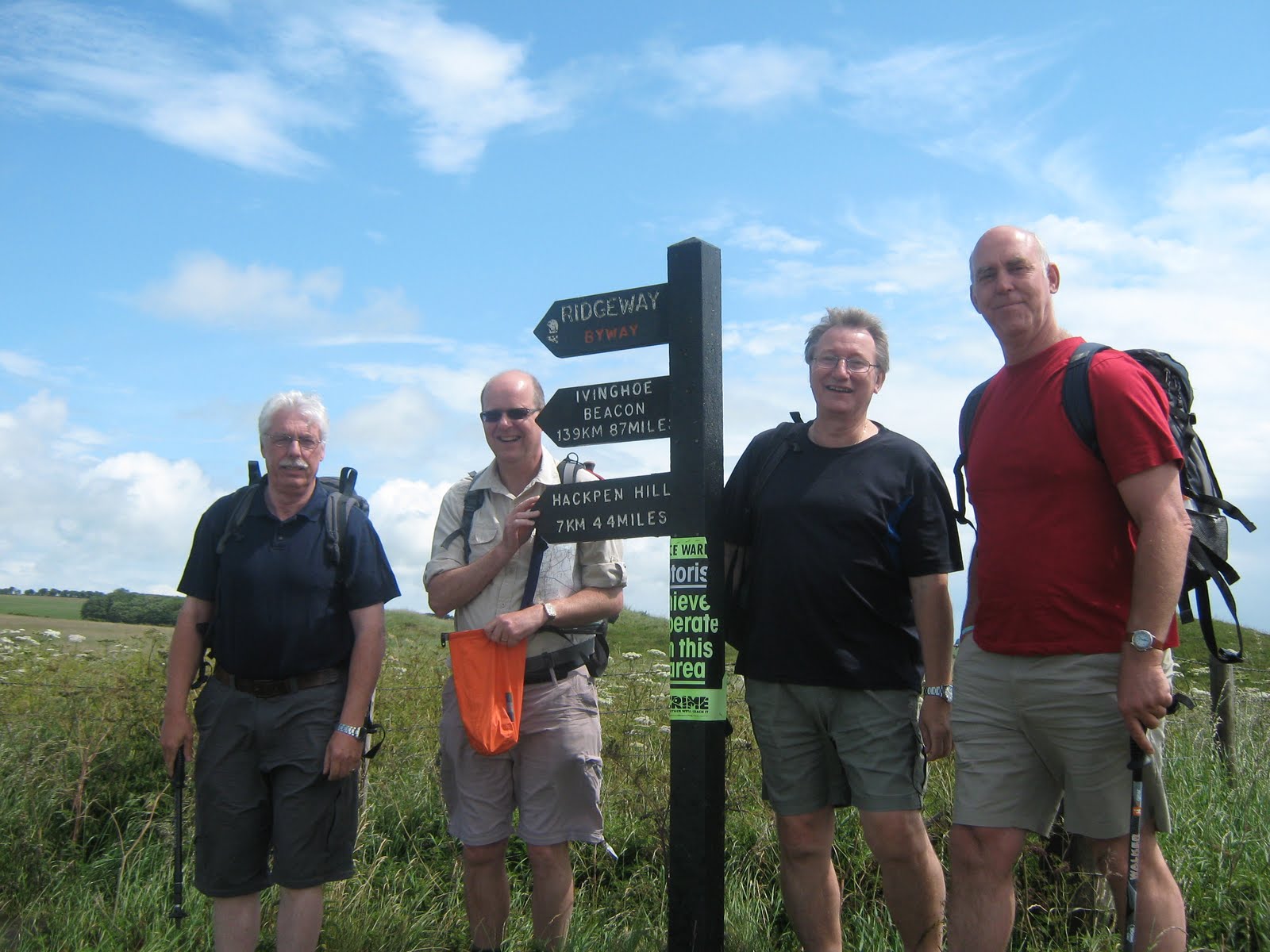
After a couple of miles of steady climb, we reached the top of Hackpen Hill, where we decided to take a break and stop for lunch. Feeling fully refreshed it was time start again crossing a minor road we could just make the white horse on the slope below. At this stage we were now overlooking the Marlborough Downs and heading for Barbury Castle. Cresting the next rise we could now see the impressive earthworks of the castle ahead, the bad news was that the path now dropped in a valley before climbing steeply up to the top of the mound. After all that excursion it was time for a rest, the signs all pointed to "The Ridgeway Farm Cafe" being just the other side of the castle, however when we got there all we could find was a burnt out shell. Never mind after a quick drink we walked on to Smeathie's Ridge a long expanse of open grassland partly gallops and partly sheep grazing with spectacular views on either side.
 |
| Smeathie's Ridge |
 |
| Ogbourne St George our stop for Day-1 |
Lavender House B&B was extremely comfortable and welcoming, the bags were already upstairs so this decided who had the bunk beds. After a rest it was down to the "Inn on the Well" for the first of a few beers and a delicious evening's meal (and yes there is a well in the middle of the pub).
Our introduction day was now finished and it was on to day-2.
Day-2 (Ogbourne St George to Sparsholt Firs)
The second days walk was 14 miles of ridge walking and iron age remnants.
 |
| Next stop Liddington Castle |
The route heading northwards to Liddington castle was a gentle undulating hedge lined by-way through the hedges you catch glimpses of the beautiful Wiltshire countryside.
 |
| Swindon and the M4 |
Once at the top of Liddington Hill the iron age fort appears on your left, with the M4 and Swindon straight ahead the path turns right and heads down to cross the motorway.
 |
| Time for a break |
 |
| The village of Ashbury |
 |
| Waylands Smithy |
 |
| Uffingham Castle |
 |
| Down Barn Farm our stop on day 2 |
Day-3 (Sparsholt Firs to Goring)
Day-3 looked like a toughish 18 mile walk across the chalk downs to the Thames Valley according to the map. But after a small detour it turned out to be possibly the toughest day of the walk, 21 miles of solid chalk (hard on the feet) with a over-planned detour in the middle.
 |
| Day 3 Sparsholt Firs to Streatley |
Once back on the ridge it was back up the next hill, this one had the added advantage of a water tap at the top. We were leaving the Iron Age forts behind today and were moving onto natural marvels and monuments.
 |
| The Devils Punchbowl at Sparsholt Firs |
Once back at the top it was onto the final fort of Segsbury Castle its mound obscured by hedges but it was still an impressive sight.
 |
| Didcot Power Station in the distance |
 |
| Lord Wantage Monument |
The plan was to take a detour from the track down following the gallops to the small village of West Ilsley. One slight problem soon transpired the pub was closed that afternoon for a funeral. What to do now ???
 |
| Resting for lunch at The Swan |
After a well earned rest it was now time to find our way back to the path. After careful debate we took the shortest route possible back up to East Ilsley Down. You could tell this was horse racing country gallops were dotted all around this part of the walk. The sky was darkening and rain looked imminent, the forecast was for rain, as we followed the ever undulating path across the Oxfordshire Downs.
 |
| The Red Kite circled overhead |
 |
| The Halfway Point |
We were now at about halfway along The Ridgeway and on our final stretch down to the River Thames and our resting point for the day.
It was shortly after our luck run out and the skies opened there was a mad dash for our waterproofs, but Dave was there with his trusty brolly. The last 2 (or maybe 3 miles) were damp and appeared never ending as we trudged down into Streatley and across The Thames to Goring in search of our B&B.
We'd landed on our feet again this the accommodation was immaculate and the garden a labour of love. After a brief rest and a well earned cup of tea it was back to the centre of Goring (about a mile away) to top up the liquid intake and for a delicious well earned meal at The Miller of Mansfield.
To hear about the rest of trip move on to page 2 (Streatley to Ivinghoe Beacon - up into The Chilterns)